
A new global mapping platform is intended to help governments identify where irrigation could be developed, where it is most needed and where investment may offer sustainable benefits. The Mapping of Irrigation Potential and Needs Initiative, known as IRMA, was launched on 15 October during the Rome Water Dialogue.
The digital tool brings together information on existing irrigation, the physical suitability of agricultural land, development needs and expected benefits. Its purpose is to give decision-makers a structured way to compare areas and prioritise possible investments, rather than relying on separate assessments that may not be directly comparable.
From global screening to country-level priorities
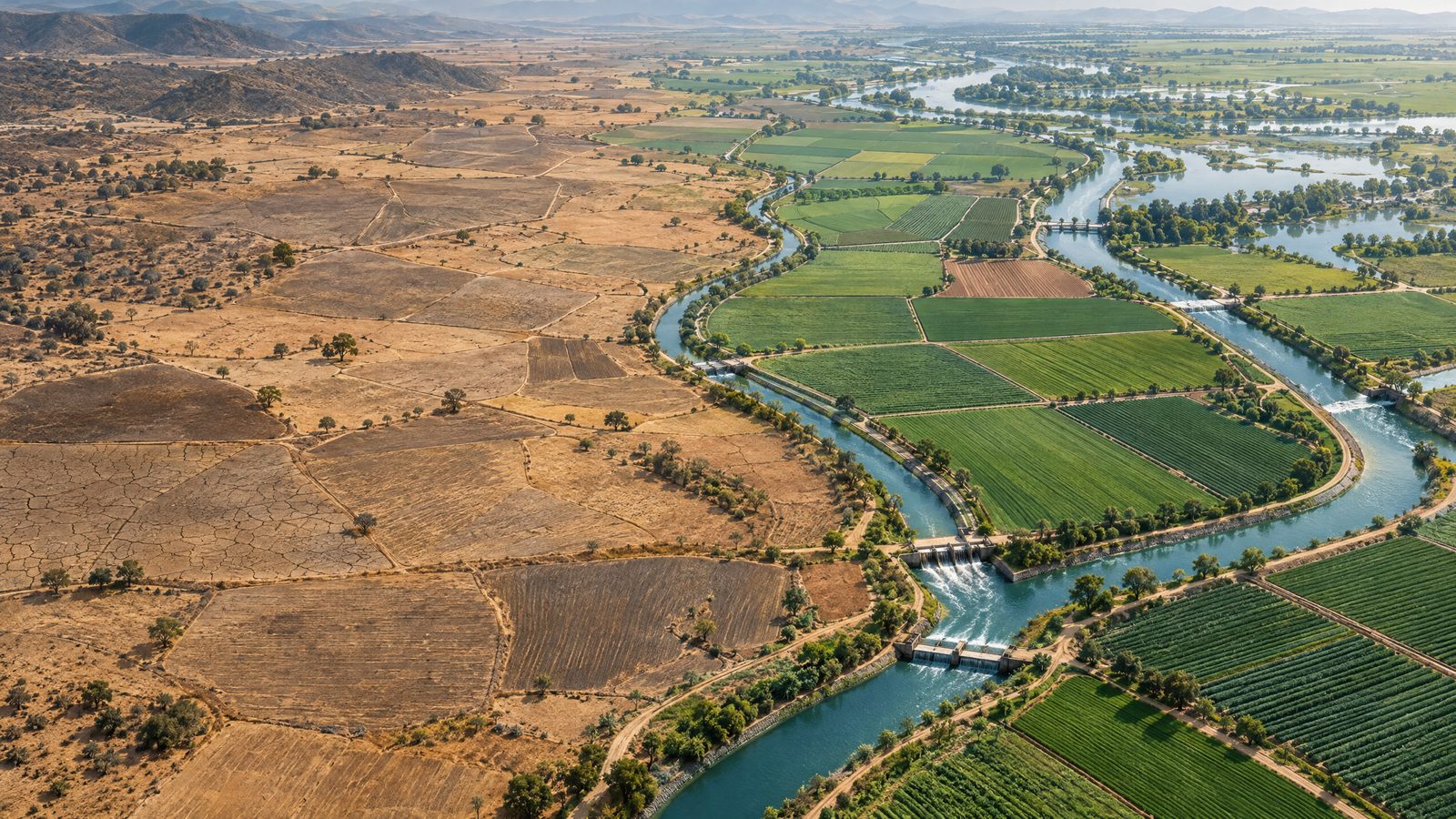
At global level, the platform maps irrigated and rainfed cropland and classifies agricultural areas by their biophysical suitability for irrigation. This offers a broad screening picture. It does not, by itself, establish that a project is affordable, environmentally appropriate or desirable for a particular community.
Country-level analyses add development needs and expected benefits to the assessment. These can help governments examine where irrigation could align with national priorities and compare potential locations. The global platform is openly accessible, while country-level versions are developed with national counterparts and adapted to local priorities and conditions.
The approach rests on the idea that irrigation planning should consider three questions together: whether irrigation is feasible, whether there is a need for it, and whether it can produce a sustainable benefit. The combined view is designed to help planners move from fragmented information towards more systematic decisions about where to investigate or invest.
That is a planning function, not a construction programme. The launch does not announce irrigation works, funding allocations or commitments by individual governments. Nor does a mapped area amount to an approved project. Further assessment would be needed before a location could be selected for development.
Water and food security pressures
The platform was unveiled at a high-level meeting on water governance and food security as part of the Rome Water Dialogue. The discussions focused on improving water efficiency, making allocation fairer, and preparing for droughts and floods. Agriculture accounts for more than 72 per cent of global freshwater withdrawals, making decisions about how water is used in farming central to both food production and water management.
Water stress and changing rainfall can affect crops, livestock and rural livelihoods, while irrigation can also add pressure where water is scarce or poorly managed. The new mapping initiative is intended to bring physical suitability and development priorities into one decision-support framework. It does not claim that irrigation is the right answer everywhere: its purpose is to help distinguish locations where it may be feasible and useful from those where it may not be.
Earlier work on the initiative set out a country-specific decision-support system for assessing both irrigation need and potential. The new platform makes that framework available through an interactive interface hosted within an agricultural data system. At global scale, users can examine spatial patterns; more detailed country platforms are developed in partnership with national authorities.
The mapping is therefore a starting point for planning rather than a guarantee of water savings, improved harvests or resilience. Those outcomes would depend on local conditions, investment choices and the way any irrigation is designed and managed. The platform’s assessments can help organise evidence for those decisions, but do not replace them.
Its launch places data and comparative mapping at the centre of a wider discussion about sustainable irrigation investment. The practical test will be how governments use the information alongside local knowledge, water-resource limits and development priorities when deciding whether and where to proceed.