
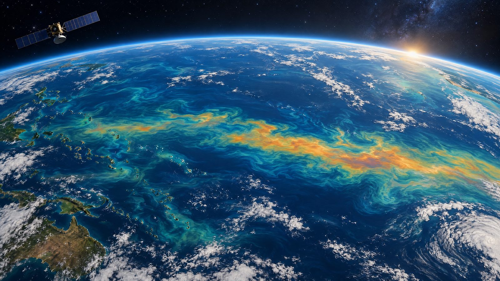

New satellite observations show a developing El Niño reshaping conditions across the tropical Pacific, with unusually warm water, changes in sea level and a shift in ocean colour all visible from space.
Measurements released on 15 October show sea-surface temperatures in the eastern Pacific about 3°F (1.7°C) above the long-term average. They could rise further in coming months. The observations offer a view of how the climate pattern is evolving in the ocean, while forecasts indicate the event could become unusually strong.
Signals recorded across the Pacific
One early sign appeared in January, when satellites detected a Kelvin wave near Micronesia in the western Pacific. These long pulses of warm water move eastwards beneath the surface. By early April, the wave had reached the eastern Pacific and sea-surface temperatures had begun to rise.
As warmer water expands, it lifts the ocean surface. The satellite maps show local sea levels in parts of the eastern Pacific rising by about 1 to 1.3 feet (30 to 40 centimetres). Around Indonesia and northern Australia, sea levels were 6 to 8 inches (15 to 20 centimetres) below normal. These differences form part of the ocean pattern that accompanies El Niño.
The movement of heat through the Pacific can also influence the atmosphere. Warm water heats the air above it, helping weaken the trade winds that normally blow towards the west. This can reinforce the eastward movement of warm water. The resulting changes to winds and ocean heat are associated with shifts in rainfall patterns, although the satellite maps do not predict the weather for any particular place.
The October outlook puts the chance of a historic El Niño exceeding the strength of previous events dating back to 1950 at 83 per cent for October to December. That is a probability, not a certainty, and refers to a specific three-month ocean-temperature threshold. Strong to very strong conditions are likely to persist through January to March 2027; the probability of a historic event varies by forecast period.
Ocean colour offers another measure
A separate set of observations follows subtle changes in the colour of the equatorial Pacific. Some waters are becoming bluer in areas that are normally greener because they contain more phytoplankton, microscopic organisms that underpin marine food webs.
During El Niño, weaker trade winds can reduce the upward movement of cool, nutrient-rich water. With fewer nutrients reaching the surface, phytoplankton can decline. The colour change is consistent with that process, but it should not be read as a direct count of marine life or as evidence of a specific impact on fisheries.
The 2026 event is the first El Niño observed by the PACE satellite since its launch in 2024. Its Ocean Color Instrument measures light across several hundred wavelengths, allowing scientists to examine changes in ocean colour alongside other measurements. Those data were compared with observations of sea-surface temperature and height, drawing on missions including PACE and Sentinel-6.
Satellite altimetry has provided a continuous record of ocean height since 1993. Sentinel-6 continues that work, surveying large areas of ocean, while buoys and other instruments collect measurements within the water. Together, these observing systems help scientists follow both surface conditions and the wider pattern of ocean heat.
The observations capture a developing event, rather than a fixed outcome. Scientists will continue monitoring the Pacific as the pattern evolves and forecasts are updated. El Niño can influence weather far beyond the ocean where it forms, but its effects differ by region and season; the current satellite evidence does not mean every community will experience the same conditions.