
Taiwan’s National Security Council secretary-general, Joseph Wu, posted a map on X on 28 October showing 53 Chinese vessels near Japan, Taiwan and the Philippines. The map depicted naval and other official vessels across several separate groupings. It did not cite a source.
According to Wu’s map, the total comprised 34 Chinese navy warships and 19 Chinese Coast Guard and other official vessels. The distinction means the figure of 53 was not a count of navy warships alone, but also included vessels from other Chinese state services.
According to Wu’s map, the Liaoning carrier group was east of the Philippines. Other formations were east and southeast of Taiwan, while three vessels were shown off southern Japan. These positions are attributed to the map, rather than established by a vessel-by-vessel account covering the full deployment.
An official notice from Japan’s Joint Staff, dated 28 October, provided a more detailed account of one group near southern Japan. It recorded both a sighting on the previous day and a subsequent passage through the Osumi Strait towards the Pacific.
Japanese account of the passage
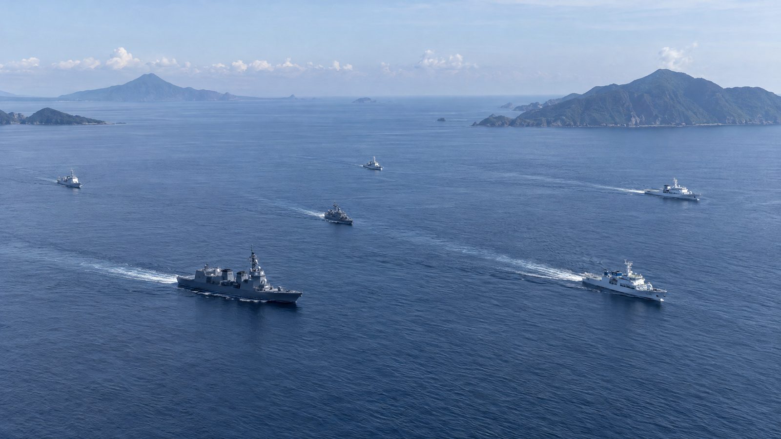
The Joint Staff said it detected three Chinese naval vessels and China Coast Guard vessel 2307 about 200 kilometres west of Kuchinoerabu Island on 27 October. Its account therefore covered four vessels, with the coastguard vessel identified by number.
It later confirmed that the vessels had travelled east through the Osumi Strait towards the Pacific. The notice supplied a route for that group as well as its earlier position, rather than a description of all the formations on Wu’s map.
The Japanese notice and Wu’s map have different scopes. The map showed three vessels off southern Japan, while the notice documented three naval vessels and a coastguard vessel. The notice independently establishes a four-vessel component near southern Japan, but does not confirm Wu’s overall total of 53.
China describes planned carrier training
China’s defence ministry said on 29 October that training by the Liaoning Carrier Task Group in relevant Western Pacific waters was part of its annual plan. It said the activity tested far-seas combat capabilities and did not target a specific country or objective.
Those comments were China’s official characterisation of the carrier group’s training. They addressed the activity’s stated purpose and place in the annual plan, rather than providing a vessel-by-vessel account of the broader distribution shown in Wu’s map.
A separate assessment dated 30 October described several large-scale deployments by the People’s Liberation Army Navy through chokepoints north and south of Taiwan since 13 October. It also assessed that Liaoning was likely east of the Philippines at the time of writing.
The assessment’s reference to deployments since 13 October covered a longer period than the positions presented in Wu’s 28 October map. Its description concerned movements through chokepoints on both sides of Taiwan, providing a different measure of activity from the map’s vessel total.
Its judgement that Liaoning was likely east of the Philippines was consistent with the broad location shown on Wu’s map, but remained an assessment rather than a confirmed position. It did not independently verify the 53-vessel total, which remains attributed to the map.
The official accounts thus provide narrower detail than the geographical picture in Wu’s post. Japan documented a specific four-vessel passage, while China set out its stated purpose for the carrier training. Wu’s map provides the wider account of the vessels’ distribution, with the separate assessment describing deployments over a longer period.