
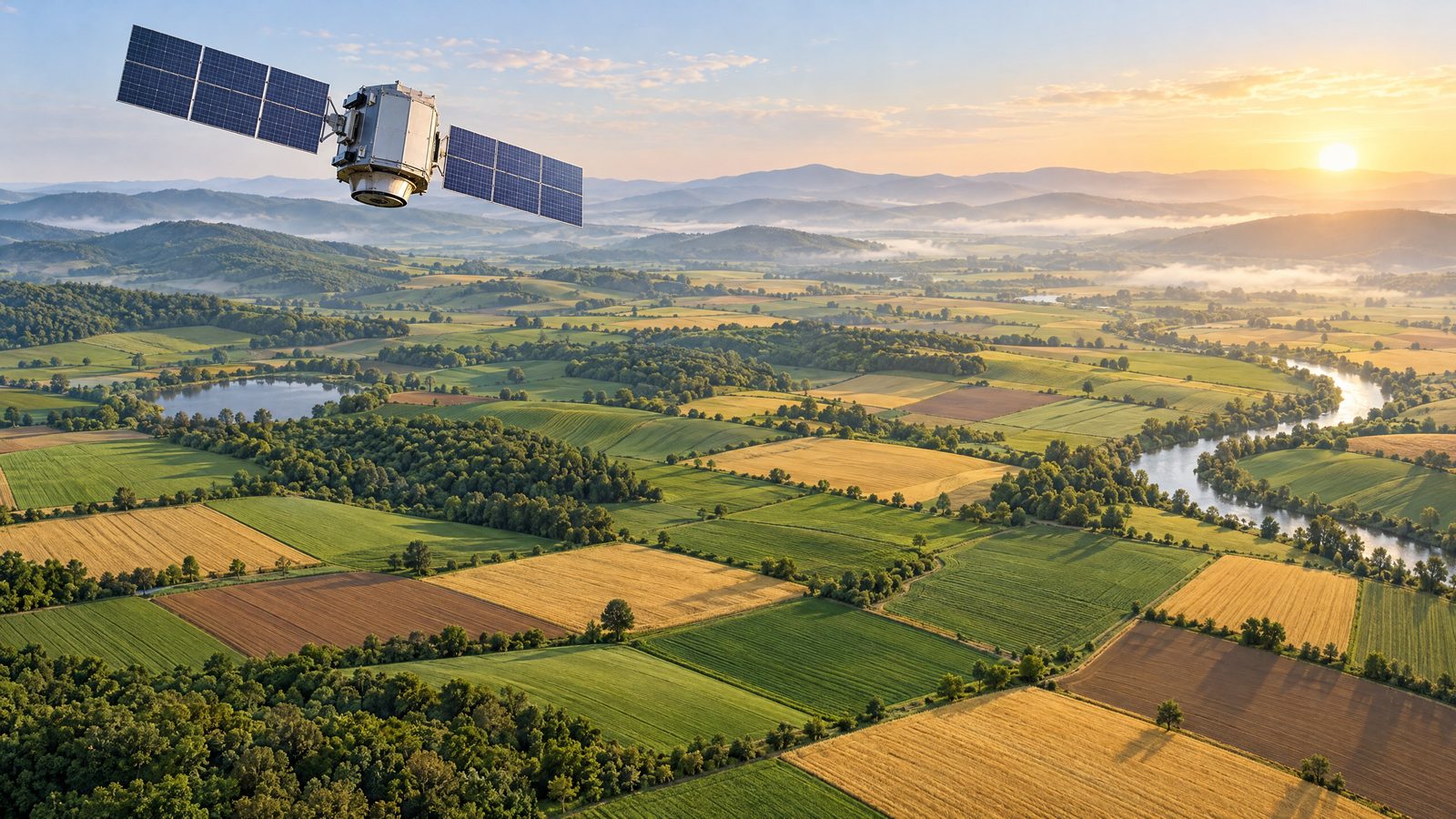

A memorandum signed by the US Department of Agriculture and NASA is intended to bring Earth-observation data, geospatial analysis and statistical methods more directly into the work of producing agricultural information. It took effect immediately on 24 October and sits within a wider effort to modernise how the department collects, assesses and shares data.
The agreement does not itself alter a crop estimate, launch a new satellite or give producers a new reporting requirement. Instead, it establishes a framework for the two agencies to work together as agricultural statistics and related systems are developed. Its stated purpose is to improve the quality of information used across American agriculture while making use of scientific and technical capabilities that already exist.
Linking observations with agricultural statistics
Earth-observation systems gather information about the land and atmosphere that can be relevant to farming. Satellite measurements and model outputs can help describe conditions such as vegetation, rainfall, temperature and soil moisture over wide areas. That information is useful only when it is matched carefully with agricultural records and with what can be established on the ground. The new cooperation is intended to support that kind of combination rather than to replace established statistical work with images from space.
The work may cover agricultural statistics, remote-sensing science, modelling and geospatial data engineering. One area of planned discussion is how the department’s statistical requirements can be aligned with Earth-science missions and their data products. The agencies are also expected to consider practical access to data archives, cloud-based geospatial formats, application programming interfaces and the workflows needed to use information in day-to-day operations.
A further strand concerns methods. Joint technical reviews may examine algorithms that indicate crop condition, estimate yields and planted or harvested land, and assess disaster impacts. The agreement specifically envisages attention to bias correction, uncertainty and validation against statistically sound reference frames and ground data. Those details are important because a map or model can be valuable without being sufficient evidence on its own. Any operational use must be tested against reliable observations and be clear about the limits of the result.
A step within an existing modernisation plan
The department had already set out a plan to improve agricultural data collection and reporting. It includes a proposed pilot that would test how satellite imagery, geospatial tools and crop models could complement essential information reported by producers. The plan also seeks to reduce duplicated requests for data, improve digital reporting and make published information more timely and useful.
The partnership gives that work a more formal channel for technical exchange with NASA. It also reflects an existing relationship between the agencies, which have previously worked together on agricultural and Earth-science research. The immediate development is therefore an agreement on cooperation and method development, not proof that a new approach has already improved the accuracy of acreage, yield or crop-condition figures.
There is no project timetable, budget or guaranteed performance outcome attached to the announcement. Nor does the agreement say that every farmer or rancher will immediately receive a new data service. Progress will depend on the technical work, validation and decisions about which methods are suitable for use in official systems. A successful model in one crop, region or type of analysis may not automatically transfer to another.
What to watch next
The practical test will be whether the collaboration produces methods that can withstand statistical scrutiny while reducing unnecessary burdens on producers. The wider modernisation programme says that new approaches should be evaluated carefully, with privacy, confidentiality and transparent methodology remaining central. That matters where information from farms, administrative records, field observations and remote sensing is brought together.
For producers and other users of agricultural data, the potential benefit lies in better information about acreage, yields, crop conditions and the effects of hazards. But those benefits remain aims rather than completed results. The agreement creates a route for the agencies to combine expertise; the evidence from pilots, reviews and future operational decisions will show how far that route changes the information available to American agriculture.