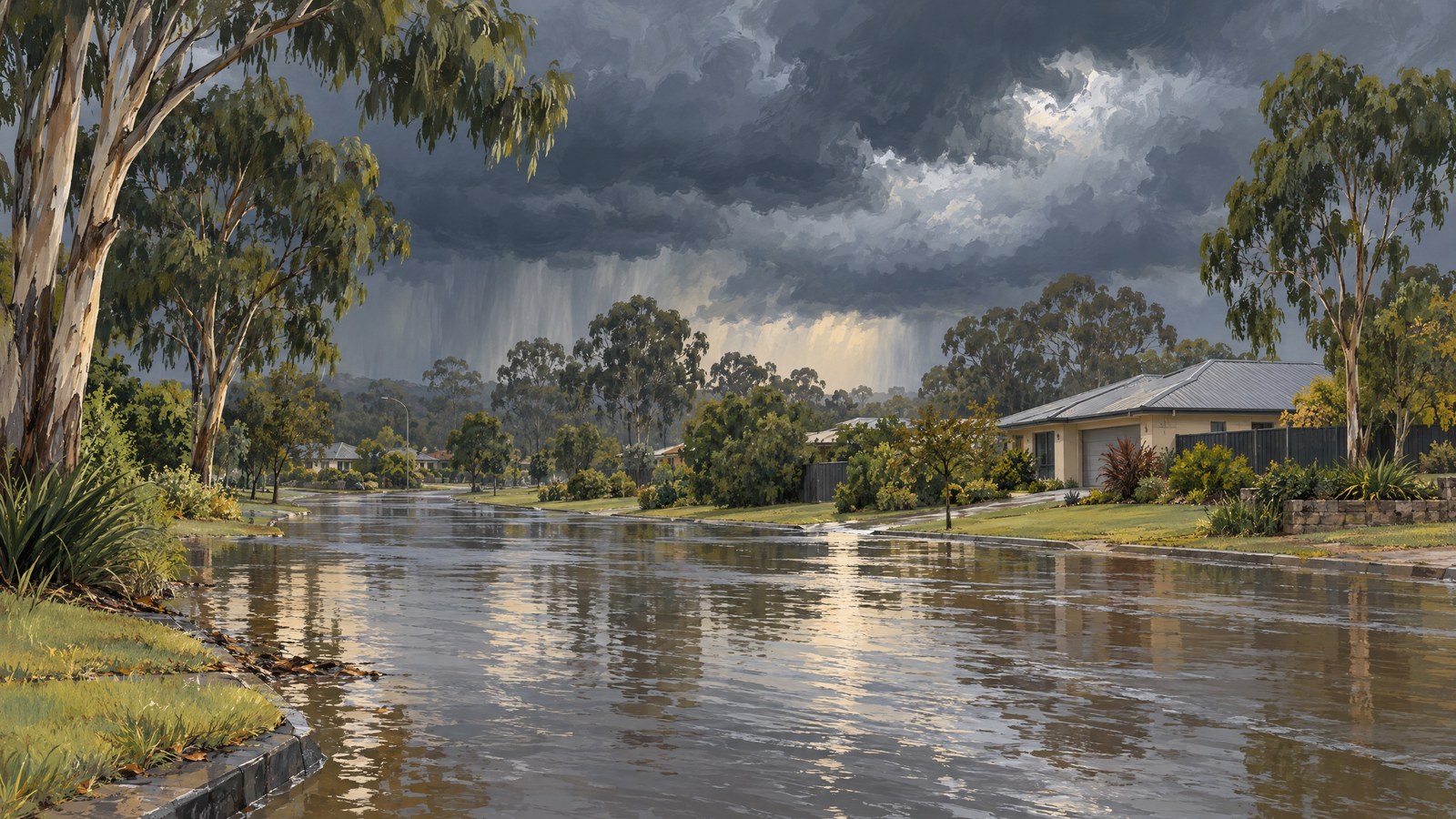

Intense rain triggered flash flooding around Caboolture, north of Brisbane, on Thursday 22 October, after more than 200 millimetres fell at several south-east Queensland weather stations within six hours. Floodwater closed roads, emergency crews answered hundreds of calls for help and people were rescued from dangerous conditions as warnings changed through the day.
The Bureau of Meteorology reported about 240 millimetres around Caboolture over six hours, with nearby stations also recording more than 200 millimetres. Its morning update said significant flash flooding was already occurring and described reports of flood rescues and numerous road closures. These were reported impacts at the time of the update; they do not establish a casualty toll.
Rapid downpours overwhelm roads and creeks
Independent reporting later recorded 203 millimetres at Caboolture in six hours, alongside 191 millimetres at another nearby site. The differing figures reflect observations from particular stations and reporting times within a fast-moving rain event. Both accounts describe exceptionally heavy short-period rainfall across the area, rather than a single uniform total for the whole district.
Rainfall was especially intense around Caboolture and neighbouring Morayfield. Several locations north of Brisbane recorded more than 200 millimetres, while local roads were inundated or cut off. Authorities urged people to avoid unnecessary travel and to stay clear of floodwater, which can conceal hazards and move quickly.
In Morayfield, a driver became trapped in a vehicle in floodwater and was helped to safety by a bystander and a television reporter before emergency services arrived. Separately, emergency crews dealt with swift-water incidents elsewhere in south-east Queensland. These rescues illustrate the immediate danger created by rising water, but the available reports do not provide a confirmed overall count of people rescued across the region.
Warnings changed as the rain shifted
At 11am, the Bureau said a severe thunderstorm warning remained in force across parts of south-east Queensland, covering an area from Maroochydore to Ipswich and including Brisbane’s western suburbs. The most intense rain near Caboolture was beginning to move south towards Burpengary and the western suburbs. The warning had already been updated several times that morning, and further changes were expected as forecasters tracked the storms.
Later updates documented changes in warning areas as the heaviest rain eased or moved inland. This evolving status matters: the morning warning is a record of conditions at that time, not a statement that the same warning remained active throughout the day. Residents were advised to follow current local alerts rather than rely on an earlier update.
The State Emergency Service reported 277 calls for assistance across Queensland between 6am and 2pm, including 152 in the Moreton Bay region. Calls included help with flooded properties and structural problems. More than 100 road closures were also reported across south-east Queensland as transport authorities tracked flood impacts. These figures describe the response reported during the day and should not be read as a final tally of all consequences.
Further rain remained possible
Although the heaviest bursts had eased in some locations by later updates, forecasters warned that further showers and thunderstorms could bring additional heavy falls. Rain was expected to continue across parts of the state over subsequent days, while local authorities monitored waterways and issued area-specific advice. Conditions could therefore differ substantially between suburbs and change again with renewed storms.
The episode showed how concentrated rainfall can produce serious local flooding even when the heaviest downpour is confined to a relatively small area. In and around Caboolture, hundreds of millimetres in a matter of hours coincided with flooded roads, emergency call-outs and rescue reports. The central public-safety message from authorities was to keep off inundated roads, avoid floodwater and check the latest warnings as conditions developed.