
Nepal plans flood warnings across six river basins and action at four glacial lakes
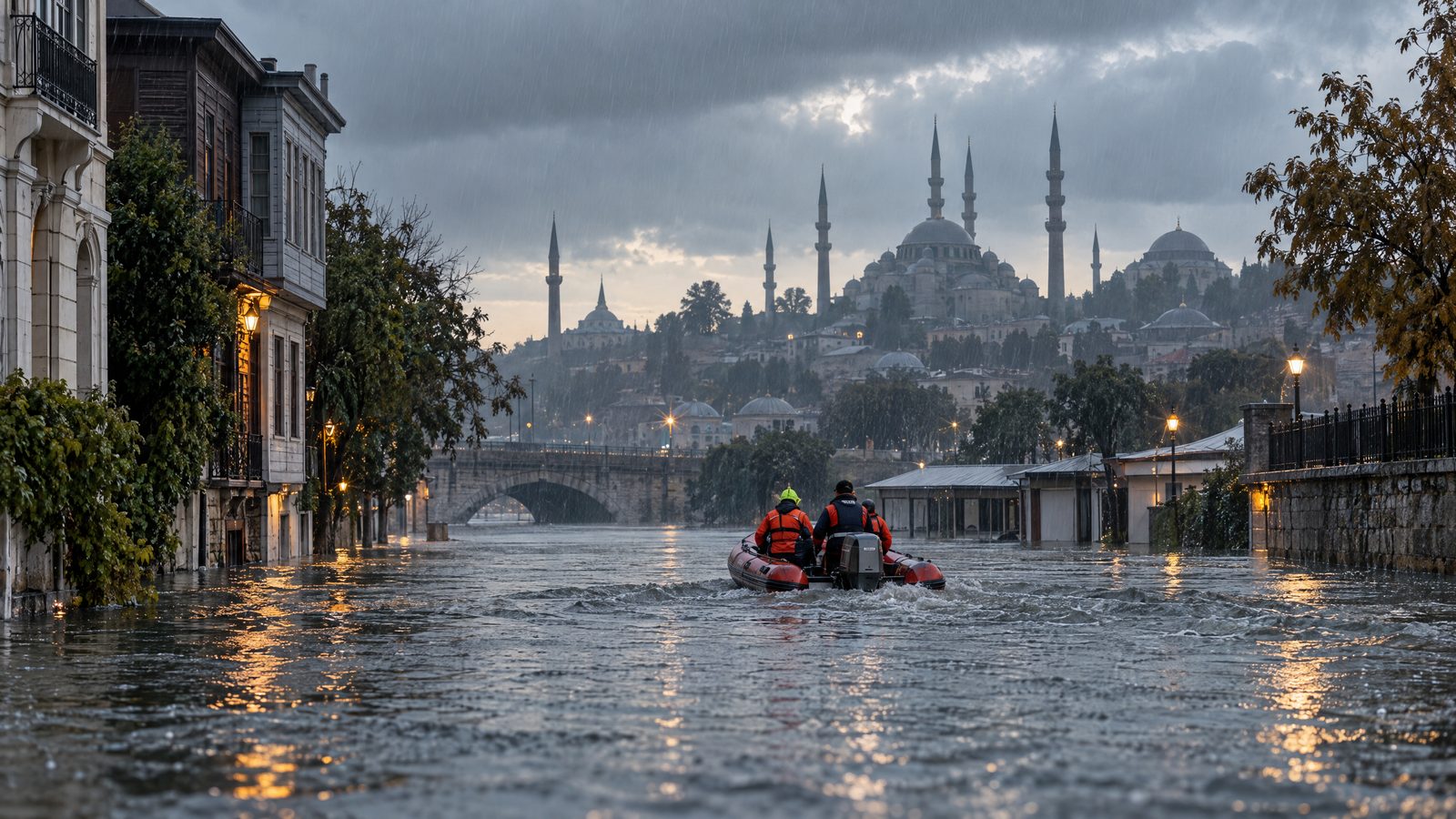
Nepal has set out plans to extend flood early-warning systems across six river basins and reduce risk at four high-altitude glacial lakes. The measures appear in two new white papers covering water resources and meteorology. They combine forecasting, monitoring and community warning plans with a longer-term programme intended to lower water levels at lakes judged to pose a serious flood risk.
The plans are forward-looking. They do not mean that new warning coverage or lake-risk works have already been completed. Their practical value will depend on the systems being built and maintained, on alerts reaching people in time and on local authorities and communities being able to act on them.
The river-basin programme identifies the Mawa-Ratuwa, Bakraha, Lakhandehi, East Rapti, West Rapti and Mohana-Khutiya basins for expanded early-warning systems. It sits within the Priority River Basins Flood Risk Management Project, which began in 2022 and is scheduled to run until 2028. The programme has a stated budget of US$7.54 million.
Flood forecasting and warning are intended to operate around the clock during the monsoon period, from mid-May to mid-October. The work is not limited to the six named basins. New forecasting models are also planned for the Karnali and Narayani basins, while a separate Bagmati project is intended to establish a community-based warning system. These strands should not be confused: they form related elements of a broader effort rather than evidence that every basin has the same system or timetable.
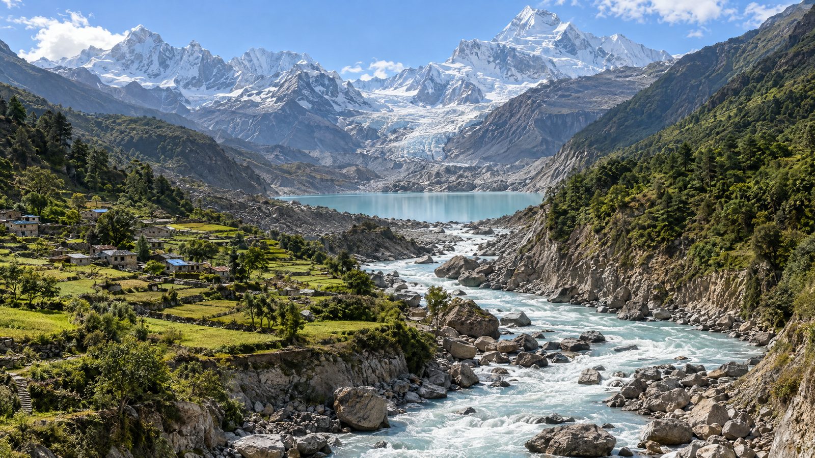
The four glacial lakes identified for risk-reduction work are Thulagi in Manang, Lower Barun in Sankhuwasabha, and Lumding Tsho and Hongu 2 in Solukhumbu. They lie in the Gandaki and Koshi river-basin areas. The planned work is designed to reduce the danger from a glacial lake outburst flood, when water held behind unstable natural barriers is released rapidly downstream.
A project running from 2026 to 2033 is intended to lower water levels at the four lakes and strengthen the systems around them. Its total investment is listed at about US$49.94 million. The programme also covers stronger glacier and lake monitoring, wider hydrological and meteorological observation, early-warning arrangements and measures intended to reduce exposure for downstream communities, infrastructure and livelihoods.
The approach builds on earlier interventions at Tsho Rolpa in Dolakha and Imja in Solukhumbu, where water levels were previously lowered. That history does not establish that the new work will be simple or risk-free. The four newly identified lakes are in remote mountain settings, and the programme will need to translate its design into field operations, reliable observation and locally usable warnings.
Monitoring is central to the wider plan. Nepal already has more than 250 hydrological and meteorological stations covering rivers, glacial lakes, glaciers and water conditions. The meteorology programme also proposes gradually converting 503 manual weather stations to automatic operation, maintaining radars in Surkhet, Palpa and Udayapur, and installing an X-band radar in the Kathmandu Valley. Artificial intelligence, machine learning and high-performance computing are proposed to improve forecasts, but these are planned tools rather than a guarantee of accuracy.
The warning system is intended to connect observations, hazard information, impact-based forecasting, warning maps and public communication. Proposed routes for alerts include a toll-free service, mobile applications, social media and audio-visual briefings. A warning is only one part of risk reduction: its usefulness depends on the quality of the forecast, whether it reaches exposed places and whether people have time and practical options to respond.
The white papers acknowledge several challenges, including sustained funding, skilled technical staff, equipment maintenance and coordination between agencies. Those factors will shape whether the stated budgets and technical ambitions become durable services. For now, the significance of the announcement is a defined programme of planned protection across named river basins and glacial lakes, not confirmation that the country is already shielded from future floods.