
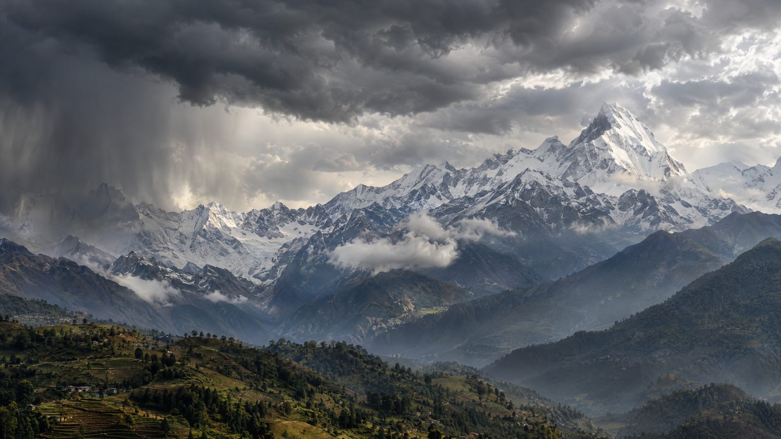

Nepal is preparing for a possible spell of unsettled weather after a developing system over the Bay of Bengal prompted a special post-monsoon warning. The alert covers a period from 28 October to 1 November and concerns the prospect of rain in parts of the country and snow in the high Himalayas.
The warning is precautionary. It does not confirm that severe conditions will occur, and it does not put a figure on expected rainfall or set a single national risk level. Weather patterns, the amount of moisture reaching Nepal and local terrain can all affect how any change is felt from one area to another. The current outlook is therefore a reason to prepare and follow updates rather than a prediction of one fixed outcome.
The low-pressure area was developing over the east-central and adjoining south-eastern Bay of Bengal when the alert was issued. Forecasts indicated that it could strengthen while moving west-north-westwards, with its expected path taking it towards the coast near northern Andhra Pradesh and southern Odisha in India. Nepal’s weather service said that the wider system could influence conditions across Nepal later in the week.
For lower and middle elevations, the main concern is the possibility of rain during a period when paddy may still be ripening in fields or drying after harvest. Farmers were urged to pay close attention to later local bulletins and to make sensible arrangements for standing crops and grain already brought in. The warning does not say that crops will be damaged; it highlights a period in which changing weather may require quick decisions.
In the higher mountains, the prospect of snowfall adds a different set of considerations. Trekkers and people planning high-altitude travel were advised to be cautious and to check the latest forecasts before setting out. Mountain weather can change rapidly, while conditions along a route may differ from those in nearby valleys. The outlook concerns possible weather disruption, not a closure order or a report of an incident.
The timing matters because Nepal’s monsoon had already withdrawn earlier in October, leaving much of the country under clearer skies. A new spell of rain or snow at this point would be a post-monsoon change rather than a continuation of the seasonal monsoon. That distinction also explains why the alert focuses on readiness for agriculture and travel, rather than describing an ongoing nationwide emergency.
Regional tracking showed the Bay of Bengal disturbance strengthening, which supports the basis for monitoring it closely. Even so, the specific effects in Nepal remained uncertain at the time of the warning. Rainfall could be uneven, and the forecast offered no confirmation of how much precipitation individual districts would receive. It is also possible for anticipated conditions to weaken or shift as a weather system develops.
For now, the most important point is the limited and forward-looking nature of the notice. It sets out a window in which rain and high-Himalayan snow may affect Nepal, while making clear that the scale of any impact cannot yet be determined. People with farming, trekking or travel plans during those dates have been advised to keep checking official weather information as the forecast is refined.