
Passengers planning rail journeys across England, Scotland and Wales have been advised to check their travel plans as severe weather associated with Storms Austen and Boelo threatens disruption through the weekend. The national advisory was materially updated at 00:49 on Friday 23 October, adding the latest warning areas, expected timings and operator-specific service risks.
The notice covers routes across all three nations, but it does not say that every line or train will be affected. Its information describes forecast risks and the possibility of disruption. Weather warnings may change as forecasts develop, and passengers are being asked to check their whole journey before setting out and again close to departure.
Warnings vary by region and day
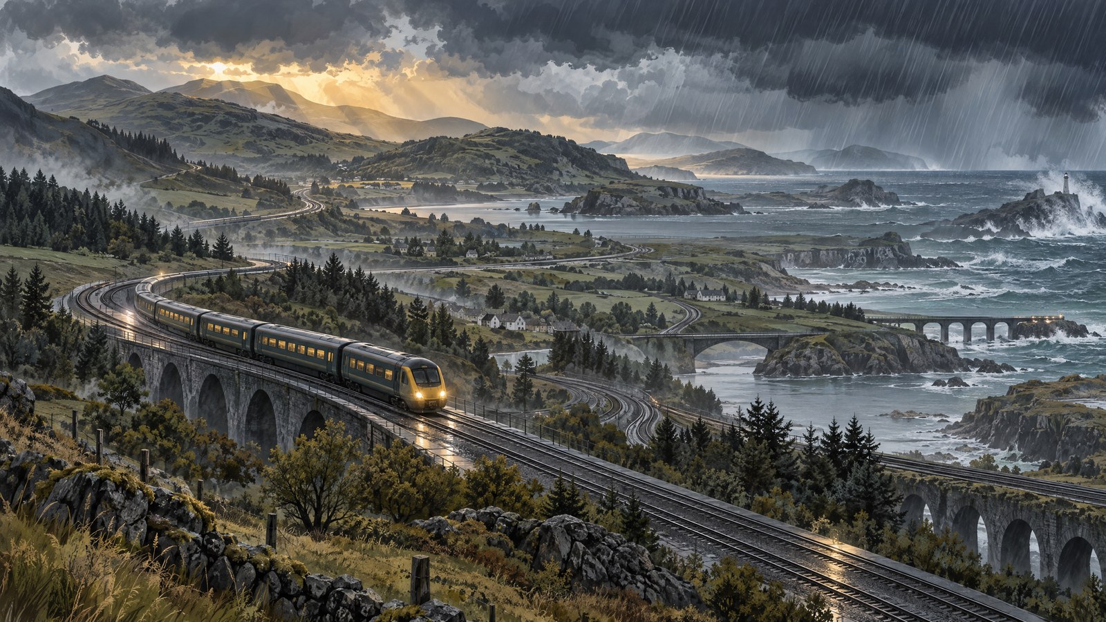
For Friday 23 October, an amber warning for extremely strong winds applies across Devon and Cornwall until mid-morning. A yellow wind warning covers England and Wales for most of the day, while parts of Scotland are under a yellow warning for heavy rain throughout Friday.
The outlook then shifts north. A yellow warning for strong winds is in place across northern England and all of Scotland from Saturday evening, 24 October, until late on Sunday evening, 25 October. The advisory says there are no active weather warnings for Monday 26 October, but some railway disruption could continue into that day.
The warnings describe different hazards and time windows, rather than a single uniform period of dangerous conditions across the country. The stated areas and timings remain subject to change as the forecast is updated, so they should not be treated as fixed guarantees about local weather.
Operators expect different service effects
Great Western Railway services in south-west England may be disrupted on Friday and Saturday. Transport for Wales services may be affected through Sunday. Other operators are also advising passengers to prepare for altered services, including reduced train frequency on some routes in northern England from Friday and planned reductions on some routes over the following days.
In Wales, temporary timetable changes and rail-replacement buses have been arranged on parts of the network, including routes in West Wales, the Heart of Wales, Cambrian line and North Wales Coast areas. Such preparations are precautionary responses to forecast conditions, not evidence that every listed journey has already been cancelled or delayed. On some routes, journey planners may take time to reflect short-notice changes.
Rail operators and infrastructure teams are monitoring forecasts and reviewing operational plans. Where conditions require, trains may run at lower speeds or services may be changed to keep the railway safe. The arrangements can differ between individual lines and operators, so a general warning does not establish the status of a particular train.
Why wind and rain can affect trains
Strong winds can bring trees, branches and other debris onto tracks, or damage railway power lines. Heavy rain can flood tracks, affect embankments and interfere with points and electrical equipment. Wet leaves and other autumn conditions can also reduce rail adhesion, making it harder for trains to accelerate and brake.
Those mechanisms explain why the same storm can lead to different operational decisions in different places. Speed restrictions, temporary closures, cancellations or replacement transport may be used if local forecasts or conditions make them necessary. Their use depends on the circumstances; the advisory does not confirm that each measure will be required across the network.
Check the full journey before leaving
Passengers are advised to check every leg of their journey, including connections, before travelling. They should look for warning symbols and service updates in live journey information, allow extra time where possible and check again shortly before leaving for the station. Replacement buses may take longer than trains, and a connection could be affected even where the first part of a journey is operating.
People travelling during the warning periods should keep monitoring updates because forecast locations and timings can change. The national incident page was originally opened on Tuesday 20 October, but its 00:49 Friday update is the latest development: it revises the live picture of weather warnings and possible railway effects across the country. It is a changing travel-safety advisory, not a report that disruption is certain or universal.