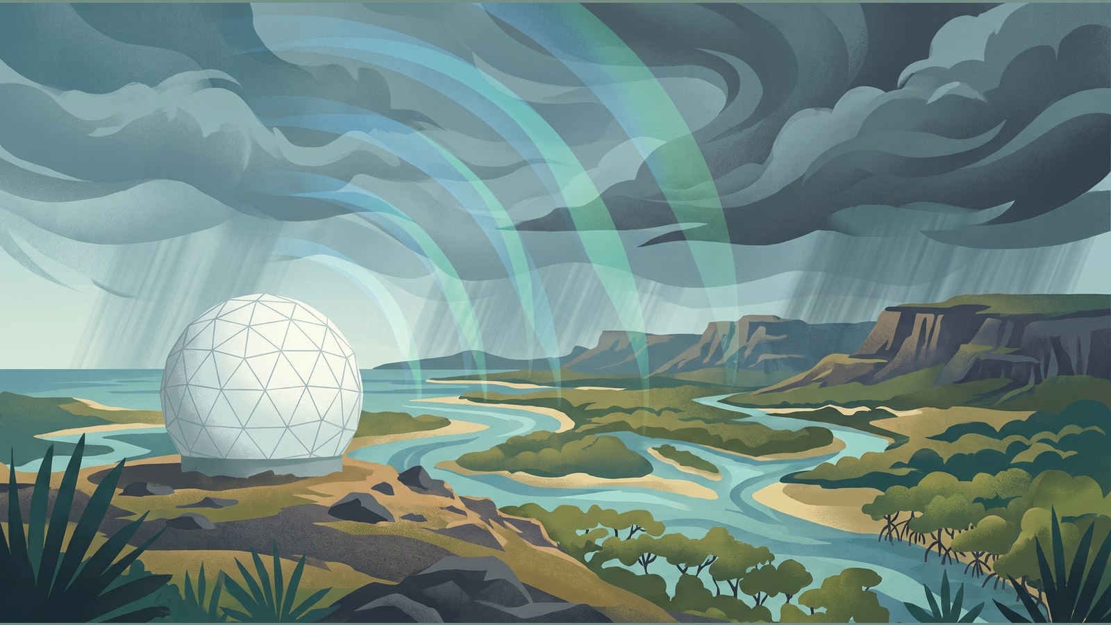

A temporary weather radar in Wyndham is now supplying images again for communities across the north-east Kimberley in Western Australia and the north-west Gregory district of the Northern Territory.
The installation was completed after the previous Wyndham radar was damaged beyond repair in a fire caused by a lightning strike in December 2025. Radar images became available to the community on Thursday 22 October, returning coverage ahead of the wet season.
Service returns after earlier loss
The Bureau of Meteorology installed the temporary unit to bring radar services back sooner than a permanent replacement could be delivered. For people in the affected areas, the practical change is renewed access to images showing where showers and storms are moving.
That access matters because radar provides a near-real-time picture of weather systems as they develop and pass through an area. It can add local detail to the wider forecasts and warnings that people use when conditions become unsettled. The return of images does not mean that every weather risk can be predicted from radar alone, but it restores an important part of the region’s weather-information service.
The prior radar was lost following the December fire, leaving the Bureau to pursue a replacement while maintaining a focus on restoring coverage. The temporary installation is therefore an operational step rather than the completion of the longer-term replacement project.
New capabilities in the temporary unit
The replacement system provides Doppler wind images and dual-polarisation capability, features that were not available from the earlier Wyndham radar. Doppler technology measures wind speed, giving forecasters and users another way to interpret the movement of weather systems. Dual-polarisation supplies additional information that can help distinguish between different types of precipitation and improve the reading of radar images.
Those capabilities do not turn the temporary unit into a permanent installation, nor do they remove the need to follow official forecasts and warnings. They do mean that the returned local coverage has a broader set of image data than the service it replaces.
From Queensland to Wyndham
The radar was transported from Queensland to Wyndham after engineering work in Gladstone prepared it for installation. The route and preparatory work underline why a temporary unit could restore a service sooner than designing, procuring and building a new permanent radar from the outset.
With the temporary equipment now operating, residents and visitors in the coverage area can again consult local radar images alongside the Bureau’s forecast and warning products. The announcement is about the availability of that operational service, not a claim that the wider replacement programme has finished.
Permanent procurement still under way
Procurement for a permanent Wyndham radar is continuing. The planned permanent installation is also expected to include Doppler wind and dual-polarisation capabilities. However, no completed procurement timetable has been published, and the Bureau has said indicative timelines will be made available once that process is complete.
For now, the temporary radar closes the immediate coverage gap created by the 2025 fire. Its first images mark the return of a service for the Kimberley and Gregory districts while the permanent project moves through its next stage. The returned coverage supports day-to-day weather awareness while longer-term infrastructure planning continues.