
Self-guided walking holidays allow travellers to set their own pace, choose daily distances, and spend more time at stops that interest them. Europe is particularly well suited to this because many established trails have regular waymarks, accommodation within reach of each stage and public transport connections in key towns. Some routes also offer luggage-transfer services, allowing walkers to carry a smaller day pack between overnight stops.
For UK travellers seeking a more active alternative to a resort holiday, these routes don’t require a group tour or advanced mountaineering experience. Independent walking still calls for preparation, including checking elevation changes, seasonal conditions and the distance between services. Offline maps can provide backup where mobile coverage is limited, while advance accommodation bookings help define each day’s stage. The five routes below have established infrastructure that makes independent navigation more practical.
Walking Ancient Chalk Trails in the South Downs, England
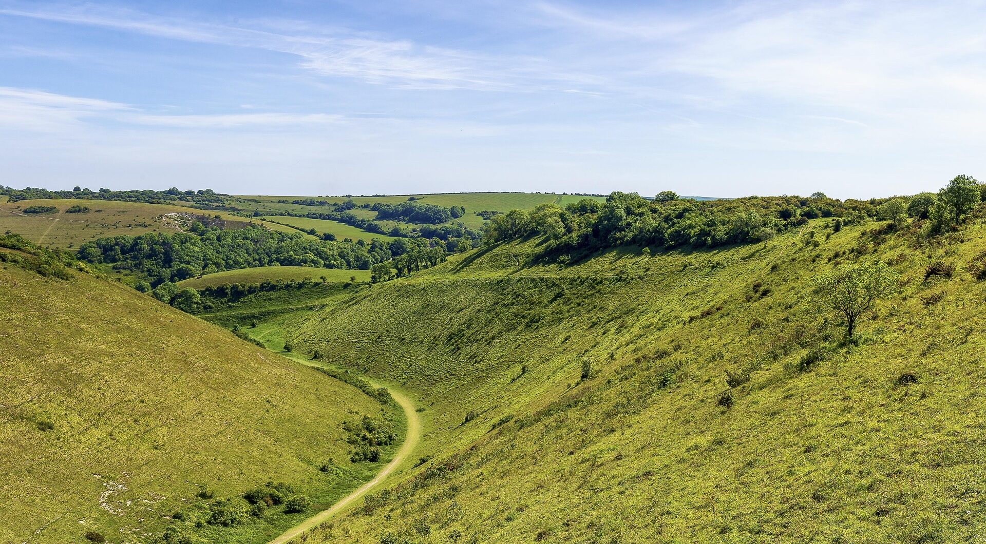
The South Downs Way extends for approximately 160 kilometres between Winchester and Eastbourne, passing across the chalk hills of Hampshire and Sussex. Opened as a National Trail in 1972, parts of the route follow old drive roads and ridge tracks once used to move sheep and cattle between grazing areas and markets. Signposts display the National Trail acorn symbol, although carrying an offline map remains useful at junctions and on sections with limited mobile reception.
Direct trains connect London Waterloo with Winchester and London Victoria with Lewes and Eastbourne. These connections allow walkers to divide the trail into day walks or complete it as a multi-day linear route without needing a car. Landmarks include Devil’s Dyke, a deep dry valley cut into the chalk landscape, and the Seven Sisters, where the route follows a succession of clifftop ascents before passing Beachy Head and reaching Eastbourne.
The South Downs Way is a practical starting point for those weighing up self-guided walking holidays, as accommodation and luggage transfers can be arranged along the route. Overnight options include inns and bed-and-breakfasts in villages such as Alfriston, although some properties sit away from the trail and should be confirmed when planning each stage.
Exploring Cliffside Villages and Coastal Paths in Cinque Terre, Italy
The Cinque Terre region on the Ligurian coast consists of five historic villages: Riomaggiore, Manarola, Corniglia, Vernazza and Monterosso al Mare. The Sentiero Azzurro, or Blue Trail, links the settlements over approximately 12 kilometres when every section is accessible. It passes terraced vineyards supported by dry-stone walls built and maintained over centuries. Walkers should check current trail access before setting out, as individual sections may close for maintenance or following poor weather.
Waymarks help with navigation, but the route includes steep staircases, uneven surfaces and junctions where an offline map remains useful. Some sections require a Cinque Terre Trekking Card, while a separate version of the card includes local rail travel. Trains stop in all five villages, allowing walkers to complete one accessible section and return to their accommodation without retracing the route. Journey times between neighbouring stations are short, although current timetables should be checked in advance. Terrain ranges from stone steps around Corniglia to narrow paths above the Ligurian Sea, making suitable footwear and realistic daily distances important even without a guide.
Climbing Alpine Peaks and Glacial Lakes in Slovenia’s Julian Alps
The original Juliana Trail forms a 270-kilometre circuit around the Julian Alps and the edges of Triglav National Park. Divided into 16 stages averaging approximately 17.5 kilometres, it passes through valleys, forests and settlements including Kranjska Gora, Bled and Bohinj. Optional approach routes extend the wider network beyond the original circuit. The trail stays below the highest summits, avoiding technical climbing while retaining views of Mount Triglav, Slovenia’s highest peak at 2,864 metres.
Waymarks and signposts identify the route, but an offline map remains useful where paths cross or mobile reception is limited. Individual stages can be completed without walking the full circuit, with buses and trains connecting several of the principal towns. Ljubljana Airport lies around 35 kilometres by road from Lake Bled, although transfer times vary by route and service.
Walkers can add separate visits to Savica Waterfall near Lake Bohinj and Vintgar Gorge northwest of Bled. Access arrangements at both sites may change seasonally, so current opening information and transport connections should be checked before travelling.
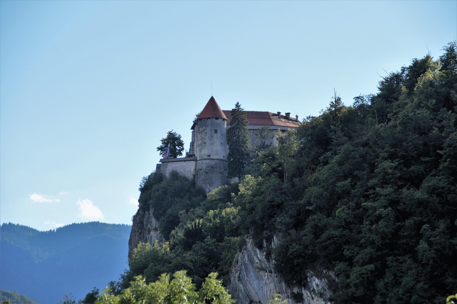
Image by ivabalk
Tracing Atlantic Cliffs and Fishing Villages Along Portugal’s Coastal Camino
The Portuguese Coastal Camino begins near Porto’s Sé Cathedral and covers approximately 280 kilometres before reaching Santiago de Compostela in Spain. Much of the route follows the Atlantic coast, providing a lower-level alternative to mountain-based long-distance trails. Yellow arrows and scallop-shell symbols mark the direction, but walkers should also carry an offline map because different coastal and inland variants divide at several points.
Early stages pass through Matosinhos and Vila do Conde using boardwalks, promenades and paved streets. Farther north, the route reaches Viana do Castelo before continuing towards Caminha at the mouth of the Minho River. Walkers cross into Galicia by pre-booked taxi boat to A Guarda, with departures dependent on tides and weather. Current crossing arrangements should therefore be confirmed before reaching Caminha. In Spain, the section between Oia and Baiona follows the foot of coastal cliffs and passes near the lighthouse at Cape Silleiro.
Luggage-transfer services operate between many overnight stops. Local trains also follow parts of the Portuguese coast, allowing some stages to be shortened, although they don’t parallel the entire route. Accommodation and onward transport should be confirmed when planning each day.
Trekking Glacier Views in Switzerland’s Stretch of Mont Blanc
The Tour du Mont Blanc passes through France, Italy and Switzerland, with its Swiss section crossing the eastern side of the massif in the canton of Valais. The route enters Switzerland at the 2,537-metre Grand Col Ferret and continues through La Fouly, Champex-Lac and Trient before reaching the French border at Col de Balme. Walkers cross mountain pastures, forests and high passes without requiring ropes or other technical climbing equipment.
Yellow signposts give estimated walking times, while white-red-white markings identify mountain paths. These routes can include steep, narrow and exposed ground, so walkers still need suitable experience and should check current conditions before setting out. Landmarks include Champex-Lac, a glacial lake at approximately 1,466 metres, and views of the retreating Trient Glacier from the northern part of the route.
Rail services connect Geneva Airport with Martigny, although a change may be required. Regional trains and buses then provide access to Orsières, La Fouly, Champex-Lac and Trient. These connections allow walkers to complete selected Swiss stages without tackling the full international circuit, but seasonal timetables and trail access should be confirmed in advance.
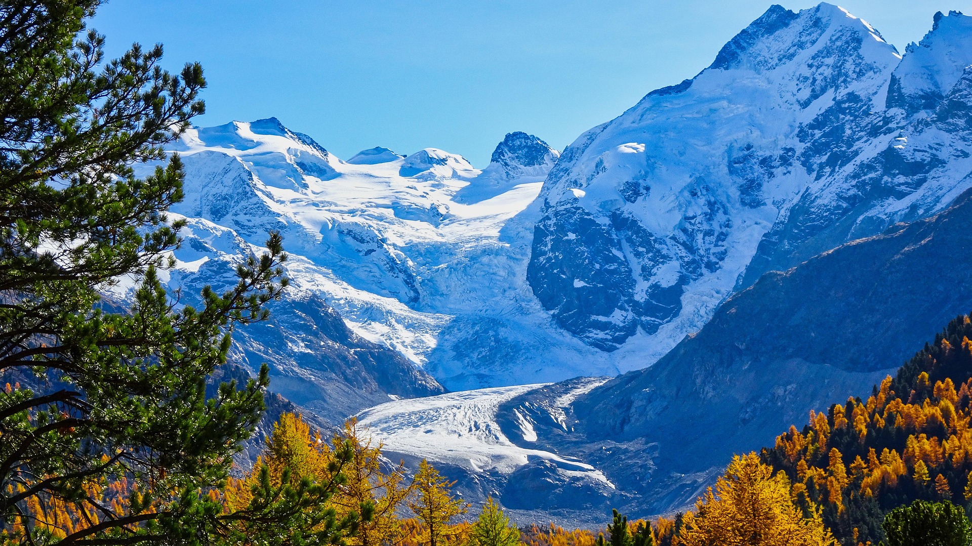
Image by FeJo4711
Which trail would you tackle first?
Each route supports a different type of self-guided trip. The South Downs Way and Cinque Terre can be divided into shorter walks using nearby rail connections, while the Coastal Camino and Juliana Trail are better suited to multi-day itineraries planned around overnight stops. The Swiss section of the Tour du Mont Blanc involves greater elevation and more exposed terrain, making previous mountain-walking experience important.
Waymarks make these trails possible without a guide, but they don’t replace an offline map, current route information or realistic daily distances. Accommodation and luggage transfers should be arranged in advance on longer sections, while seasonal transport timetables need to be checked before departure. With those details confirmed, walkers can choose individual stages or complete routes according to their available time and experience.
Feature image by Neil Morrell