
Australia has announced a move to extend the Port Phillip Bay (Western Shoreline) and Bellarine Peninsula Ramsar site in Victoria, adding wetlands that are important to migratory birds, threatened species and coastal habitats. The proposed boundary extension covers an additional 1,400 hectares and would take the site’s stated area to 24,110 hectares.
The announcement on 19 October concerns four areas: the Moolap Wetlands; parts of the Edwards Point Swan Bay Wildlife Reserve and Coastal Reserve; the Lake Connewarre Complex Conservation Reserve; and the Point Cook Cheetham Coastal Park and Marine Sanctuary. The federal environment minister, Murray Watt, and Victoria’s water minister, Michaela Settle, announced the step jointly.
It is significant, but it is not the same as a completed international listing process. The extension is to be submitted to the Convention on Wetlands Secretariat for adoption. Current official information describes the Ramsar Information Sheet as an official draft that has been submitted to the Secretariat but has not yet been endorsed internationally. The boundary change should therefore be understood as an announced extension and a national protection measure whose final international documentation remains in progress.
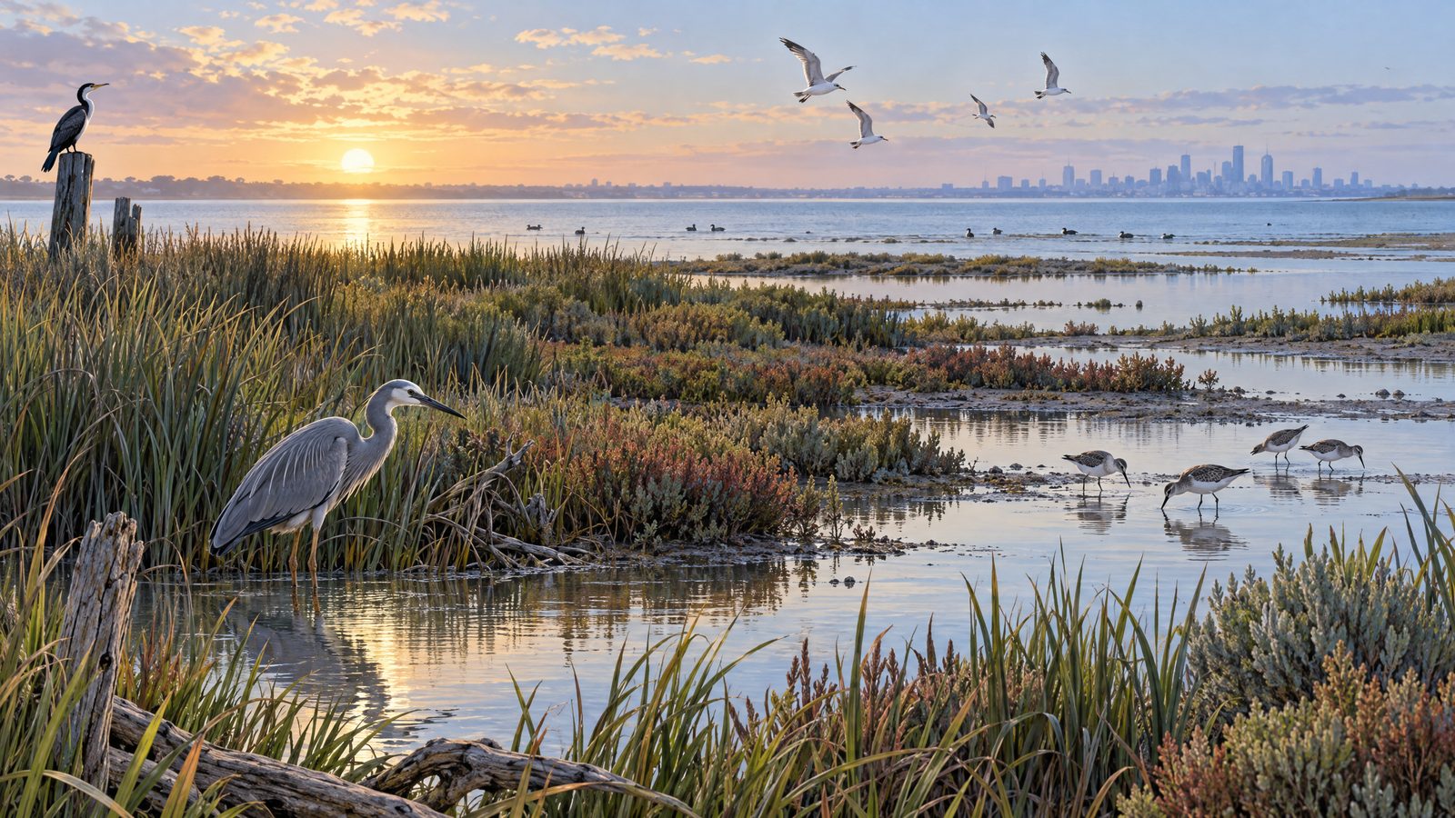
The proposed additions include saltmarsh and seagrass habitat. These areas provide food, shelter and resting places for shorebirds travelling along the East Asian–Australasian Flyway. They are also identified as habitat for threatened species, including the critically endangered curlew sandpiper and the far eastern curlew. Spiny peppercress, a threatened plant, would be included within the Ramsar site for the first time.
The broader wetland complex is already one of Victoria’s most important places for migratory shorebirds. Official site information records seven distinct areas across the western part of Port Phillip Bay near Geelong, including Point Cook/Cheetham, Werribee/Avalon, Point Wilson/Limeburner’s Bay, Moolap Wetlands, Swan Bay, Mud Islands and the Lake Connewarre Complex. It contains freshwater lakes, estuaries, saltmarsh, intertidal mudflats and seagrass beds.
The site meets six of the nine Ramsar listing criteria. It supports a high diversity of waterbirds, with 130 species recorded at the site excluding vagrant species, and it has regularly held more than 20,000 waterbirds each year since it was listed. Its habitat also supports threatened plants and animals, while its wetlands provide feeding, nursery and migratory areas for fish.
Victoria’s earlier assessment considered 11 wetland areas for possible addition and recommended the four now named in the announcement. That process involved consultation with local communities, land managers and other stakeholders. The newer announcement gives the proposed extension a stated area of 1,400 hectares; an earlier Victorian update described an approximate 1,361-hectare recommendation. No explanation for the different figures was provided in the material checked, so the later 1,400-hectare figure is used for the announced extension.
Under Australia’s national environmental laws, the stated purpose of extending the boundary is to give the wetlands greater recognition and protection, so activities with the potential to significantly affect the wetlands or their species can be assessed and managed. The practical importance of the change will depend on the Secretariat’s adoption process and on how the protections and conservation work are carried out over time.