
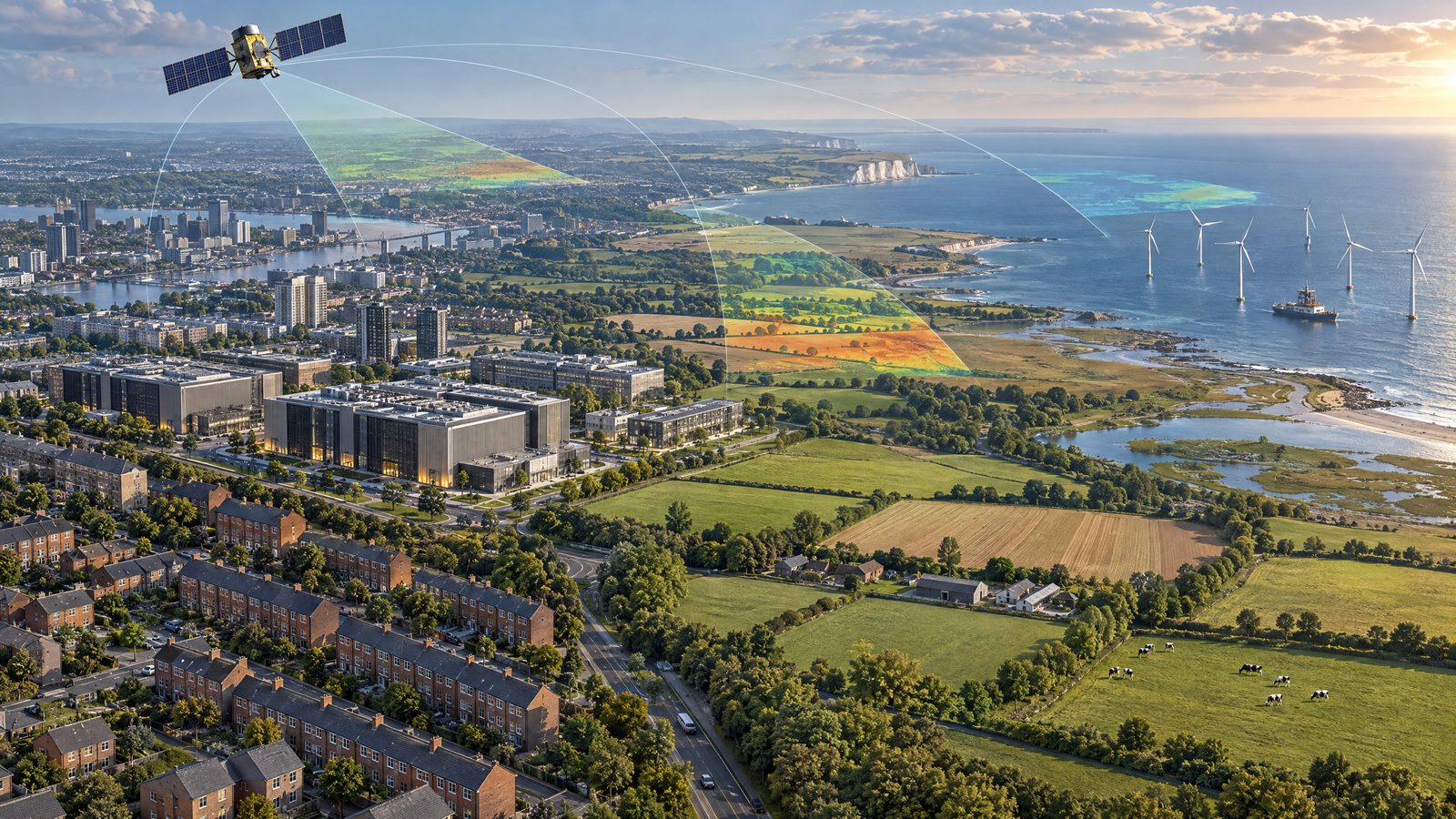

Seven UK projects will share £500,000 to develop commercial services that use satellite observations to help organisations assess climate risks. The UK Space Agency’s Commercial Climate Services Call 4 supports work spanning overheated social housing, infrastructure exposure, water security, industrial emissions, data-centre siting, coffee supply chains and respiratory health. The projects are at development and validation stages: the funding does not mean the services are already operating at scale.
Satellite measurements aimed at decisions on the ground
The programme’s central proposition is to turn Earth observation into information that customers can use in planning, lending, investment or public services. Satellite imagery can cover wide areas repeatedly, while thermal, optical and atmospheric measurements can be combined with building records, climate projections and other datasets. The funded teams are translating those inputs into risk scores, comparisons or forecasts rather than simply producing new images.
Quantum Risk Solutions is developing Home Horizon for social landlords. It will combine satellite thermal and optical data with open building records to rank homes in a landlord’s stock by overheating risk. The intended use is to identify properties that may become dangerously hot before a heatwave and help landlords target limited improvement budgets. That is a screening and prioritisation tool, not a substitute for inspecting homes or assessing residents’ individual needs.
WieldMore, an FCA-authorised climate-risk firm, is building CERES-Horizon to translate Earth-observation data and climate projections into asset-level measures of adaptation and resilience. Investors, including pension funds, and owners of renewable, industrial, agricultural and digital infrastructure are among the intended users. The system is designed to support stress-testing of existing assets and potential sites, estimate adaptation capital expenditure and connect physical climate exposures with financial models. The award supports development; it does not establish that a particular investment is safe or that future losses can be prevented.
Frontierra and the Zoological Society of London are developing a satellite-powered water intelligence service. It is intended to identify changing water availability and vulnerabilities around critical infrastructure and industrial assets, including hydropower and data centres. Pilots with financial institutions and companies are intended to test the service. The aim is to give asset owners and investors a more consistent basis for considering water risks as climate change adds pressure to resources.
From offshore emissions to urban heat
Callala and the University of Strathclyde are developing PEEPS, an Earth-observation service for offshore oil and gas platforms. The project will use satellite measurements of nitrogen dioxide to create an independent means of comparing platform performance. Its proposed system would score and benchmark platforms, flag material differences, and link them over time to operators and parent companies. Existing emissions reporting relies on operators’ own disclosures, so independent measurement could add a distinct evidence stream. The work is not a regulatory finding of wrongdoing, and nitrogen dioxide measurements alone are not a complete account of greenhouse-gas emissions.
SpaceD is incorporating satellite thermal data into its data-centre siting platform to assess how facilities may contribute to urban heat. The intended users include planners, local authorities and developers choosing locations for digital infrastructure. The analysis could help weigh infrastructure growth against local heat exposure, particularly as cities face more frequent heatwaves. It remains a decision-support tool under development, not a planning decision or a guarantee that a selected site will avoid local effects.
Agtelligence is building FarmScore, which combines Earth observation and artificial intelligence to score coffee farms for deforestation risk, land-use change and climate exposure. Lenders, insurers and buyers could use farm-level information in supply-chain and finance decisions. The project seeks to address a lack of consistent data and is intended to expand through agricultural finance and traceability partnerships. A satellite-derived score is not itself proof of a breach or a complete substitute for farm-level verification.
Golden Mile Research and Consultancy is developing the Compound Heat Air Quality Forecasting Service, or CHAQFS. It combines heat and air-quality exposure data with public-health information to forecast respiratory health risks from their combined effects. The intended applications are earlier public-health interventions, planning and climate adaptation. Forecasts can inform decisions, but they are not individual diagnoses and the announcement does not describe a deployed clinical service.
Development before deployment
Together, the seven projects address different users and scales: a landlord may need a property-level heat ranking, while an investor may need to compare climate exposures across a portfolio. Others focus on water around infrastructure, atmospheric measurements over offshore facilities or risks at farm and neighbourhood level. Their shared technical challenge is converting satellite-derived observations into measures that are sufficiently useful and dependable for real decisions.
The £500,000 is a combined investment in these development projects, rather than a stated equal grant to each team. The announcement presents them as market-focused work intended to move ideas closer to commercial use. Pilots and validation are important steps: customers will need to understand the data, uncertainty, coverage and limits behind any score or forecast before relying on it. The selection therefore signals a push to build climate services from space data, while practical impact will depend on how well each tool performs and is adopted.