
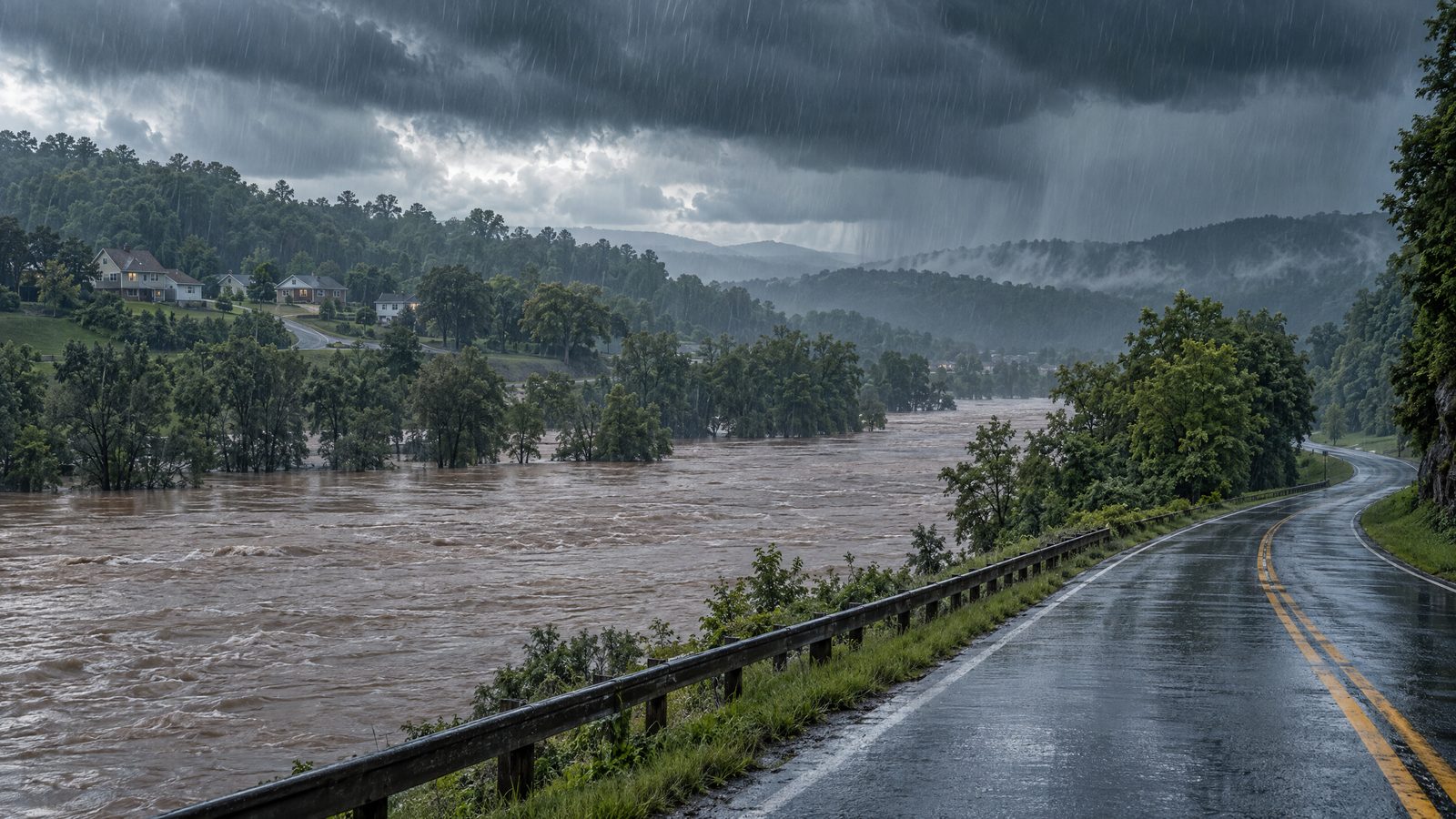

Isaias had weakened to a post-tropical cyclone by the morning of 10 October, but forecasters warned that the storm still posed a serious flooding threat across the south-eastern United States. The system had come ashore near Destin, Florida, at about 8pm Eastern time on 9 October as a Category 2 hurricane. Its movement inland did not bring an immediate end to the danger: heavy rain, rising rivers and flash flooding remained concerns after the strongest coastal winds had passed.
Rain risk continued inland
In its 4am Central time advisory on 10 October, the National Hurricane Center forecast 4 to 8 inches of rain through the weekend across southern Alabama, the Florida Panhandle and Big Bend, and south-western Georgia. Localised totals could reach 15 inches, particularly in rain bands over the Panhandle and Big Bend. Across much of the rest of the Southeast, the forecast was 2 to 5 inches, with local amounts up to 10 inches possible in the Southern Appalachians and coastal Carolinas.
Those figures were forecasts, not measured storm totals. Rainfall can vary sharply over short distances, and the eventual amount at a particular community may differ from a regional outlook. The important immediate warning was that flash, urban and river flooding remained possible across the region, with considerable impacts considered likely across much of southern Alabama, the Panhandle and south-western Georgia. Landslides were also a concern in the Southern Appalachians.
The storm was moving north at around 14 miles an hour, with maximum sustained winds near 35 miles an hour, and was expected to weaken gradually. Tropical-storm and storm-surge warnings had been discontinued in that advisory, but the removal of those coastal warnings did not mean all hazards had ended. The centre was forecast to cross Alabama and move into the Tennessee Valley, carrying rain inland. A tornado risk was also expected to persist in parts of the eastern Florida Panhandle, Georgia and the Carolinas.
From hurricane to post-tropical system
Isaias was the first hurricane of the 2026 Atlantic season. Before landfall, it had briefly reached Category 3 strength and prompted evacuations along parts of the northern Gulf Coast. It weakened after moving ashore, while damage and power disruption were reported in Florida and neighbouring states. The change to a post-tropical classification describes the system’s structure; it does not mean its winds, rainfall or flooding effects have instantly disappeared.
The National Hurricane Center’s advisory number 15, issued at 0900 UTC on 10 October, was its last public advisory on the system. Responsibility for subsequent complete advisories then passed to the Weather Prediction Center. Its later advisory number 17, issued at 2100 UTC, continued to warn of flash, urban and river flooding, while adjusting the rain outlook: 3 to 6 inches, with local maxima of 10 inches, were possible across parts of the Southern Appalachians and the Carolinas, and further rain was expected elsewhere in the Southeast. It also noted that significant river flooding in the western Florida Panhandle was expected to crest over the weekend. The outlook’s evolution underscores why residents needed to follow updates for their own area rather than treat an earlier regional estimate as a final total.
What residents should keep in mind
Flooding can develop well away from the point where a storm makes landfall, and river levels may continue rising after the heaviest rain has moved on. Urban areas can also flood quickly when intense rainfall overwhelms drainage. People in affected places were urged to follow local emergency instructions, avoid driving or walking through floodwater, and keep clear of downed power lines and debris. Anyone in an area under a flood warning should use official local alerts for the latest instructions.
By the time the storm was moving across Alabama, the central message had shifted from preparing for a hurricane landfall to managing hazards that persisted inland. Forecast totals and warnings describe possible conditions, not a confirmed account of impacts. The practical risk remained: even a weakening, post-tropical storm can bring dangerous rain and flooding after the coastal phase has passed.