
Researchers from the Alan Turing Institute and the University of Birmingham have developed an artificial intelligence model that identifies individual parts of satellites in high-resolution radar images taken in orbit. The work was presented at the European Radar Conference in London on 9 October.
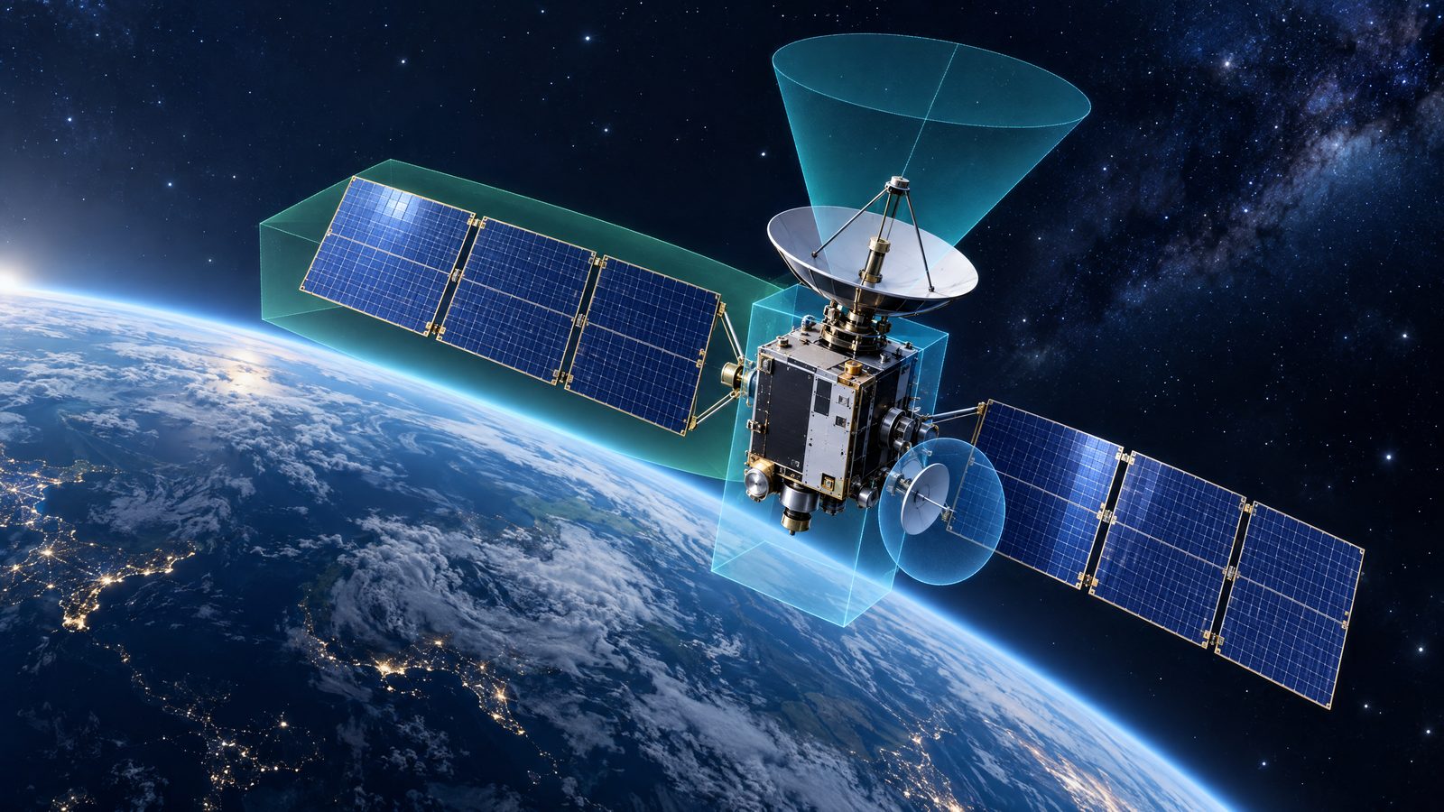
The system segments components including solar panels, thrusters, antennas and robotic arms. Rather than treating each image as an isolated view, it processes images in sequence and carries information forward from earlier frames. This temporal-memory approach can help it keep track of a component when the satellite rotates and the part is temporarily hidden from view.
Reading a changing view of a satellite
Identifying a spacecraft’s shape and parts from radar is difficult because the object is moving and its visible profile changes with its orientation. A panel that is visible in one image may disappear behind the main body in the next. A sequence-aware model can use earlier observations to interpret later ones, rather than starting from scratch each time.
The researchers’ approach uses high-resolution sub-terahertz inverse synthetic aperture radar imagery. The imaging system was developed by a University of Birmingham sensing research group. Inverse synthetic aperture radar uses the relative movement between a radar and its target to build an image; the unusually high frequency and resolution are central to distinguishing smaller structural features. The reported work is a research demonstration, not evidence that an operational satellite-monitoring service is already using the model.
The underlying research describes semantic segmentation: assigning labels to image regions or pixels so that separate parts can be distinguished. For model training, simulated radar scatter maps provide pixel-level labels for satellite components. The published abstract reports tests on a modified Clementine satellite model across different viewing geometries, with an intersection-over-union score of 0.68. That score measures overlap between predicted and reference regions; it does not mean that the system identifies every real satellite component correctly 68 per cent of the time.
Why component-level awareness matters
Satellites support services such as navigation and weather forecasting, while the number of active spacecraft and other objects in orbit makes monitoring more demanding. Knowing only an object’s location may not answer practical questions about its structure or capabilities. Better characterisation could help operators assess what they are observing and plan interactions with it.
The research team says this kind of analysis could support safer docking and rendezvous, including operations to maintain satellites or remove debris. Those are potential applications, not outcomes demonstrated by the model’s presentation. A component map alone cannot establish an object’s intentions, operational condition or readiness for a manoeuvre; decisions would require other observations and safeguards.
Space-domain awareness has traditionally relied heavily on observations from ground-based radar and telescopes. The researchers frame their work as part of a move towards observing and characterising objects from space as well. The model and radar technique are intended to contribute to that broader capability, but no operational deployment timetable was given with the presentation.
The conference presentation therefore marks a step in research rather than a finished system. Further testing on varied objects and real-world conditions would be needed to establish how reliably the approach works beyond the reported study. Its central contribution is to show how high-resolution radar imagery and sequential machine learning can be combined to distinguish satellite sub-components, even as rotation changes what is visible from one image to the next.